| Station | V |
| Equipment | Acurite 5in1 PWS |
| Elevation | 685m / 2247ft |
| Mount | Rooftop |
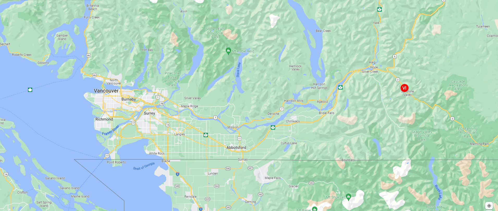
Nestled in the Cascade Mountain Range, Sunshine Valley BC is located on Highway 3 south of Hope and west of Manning Park. The station sits at an elevation of 685m (2247ft) just a few kilometers south of Hope Slide. Running adjacent to the station is the Sumallo River. While the valley has a long history of resource based economy, it's now mainly a recreational area. The climate varies through the year from temperate west coast rain forest to alpine. Summer's are generally dry and warm, while winter can bring heavy snowfall and arctic outflow conditions. The Canadian Cascade mountain range is considered to be among the most rugged in all of North America. Peaks surrounding the station soar upwards of 2600m (8500ft) over short distances giving parts of the mountain range a near vertical appearance, contributing to the varied climate. The station sits at the northern base of a ridge line joining three alpine valleys. The shaded slope, nearby river, and other factors contribute to a frequent sustained airflow from the alpine peaks, past the station, towards the valley center.


